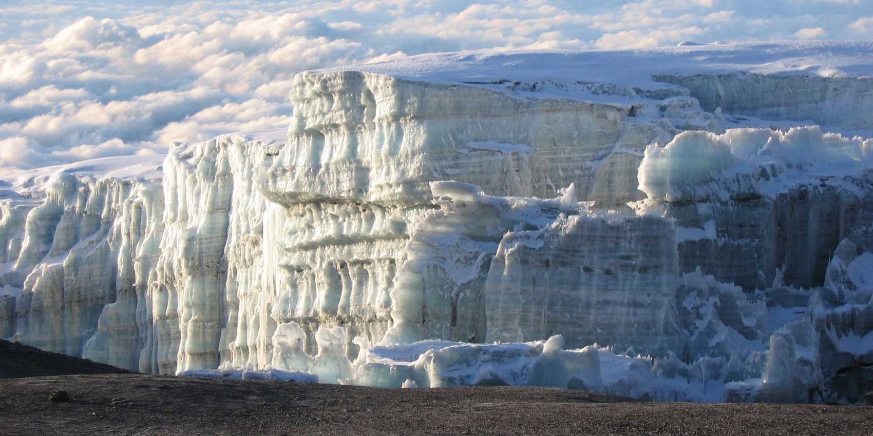
The world’s tallest individual mountain and literal highpoint of the African continent, 5,895m-high Mount Kilimanjaro straddles the border of Kenya and Tanzania.

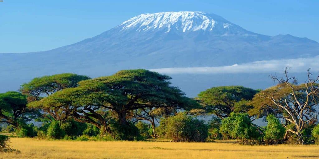
For those who just want to admire the view of its snow-capped summit, this can be done from either country, with Kenya’s Amboseli National Park being perhaps the most popular option thanks to its prolific plains wildlife.
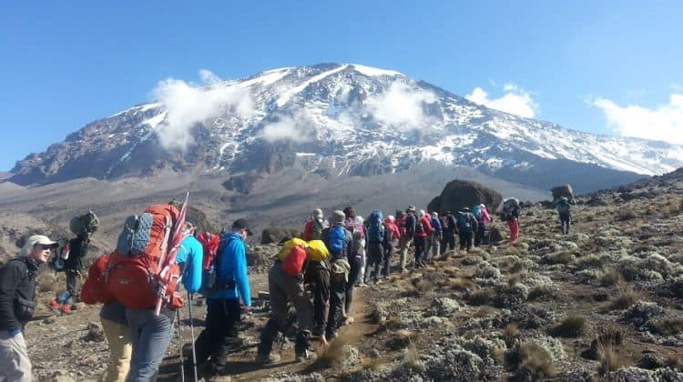
For hikers and climbers, however, the goal is invariably Tanzania, where the upper slopes of Kilimanjaro lie within a 756km2 (292 square mile) Kilimanjaro National Park gazetted in 1977 to protect all land above the 2,700m (8,858ft) contour.
Geology
A relative infant in geological terms, Kilimanjaro comprises three distinct volcanic cones whose formation is linked to the same tectonic process responsible for the creation of the more westerly Great Rift Valley.
The oldest cone, Shira, formed some 2.5 million years ago, but the taller peaks of Mawenzi and Kibo came into being less than one million years ago.
Mawenzi, like Shira, is now listed as extinct. By contrast, Kibo – which incorporates the 5,895m Uhuru Peak – is regarded to be dormant. However, it probably hasn’t experienced severe volcanic activity in the last 100,000 years, despite several fumaroles in the crater.
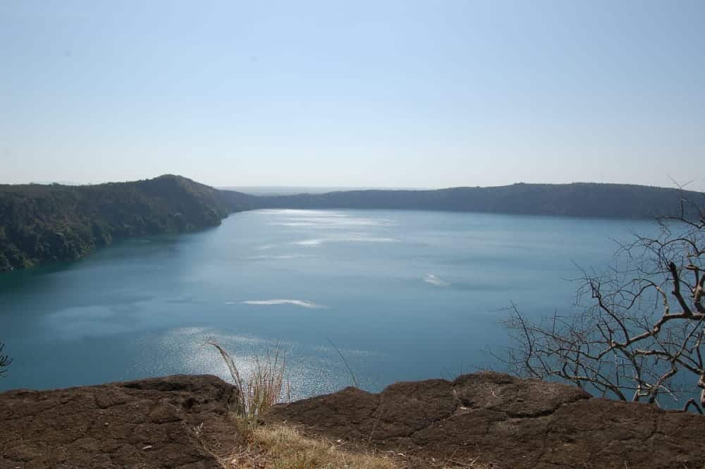
In addition, at least 250 parasitic cones can be found on the mountain’s flanks, the most famous being the one that hosts the gorgeous Chala Crater Lake on the eastern foot slopes.
Brief History
The fertile, well-watered lower slopes of Kilimanjaro are home to the Chagga, an agriculturist people whose ancestors arrived in the region in medieval times.
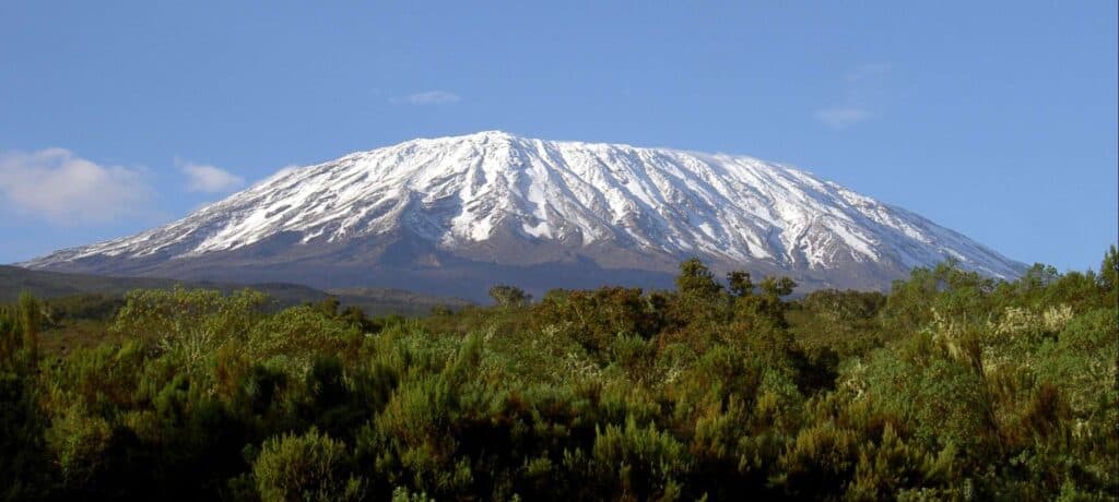
The Maasai of the surrounding plains knew Kilimanjaro as Ol Doinyo Naibor (White Mountain). They believed it to be protected by evil spirits that froze anybody who tried to ascend it.
Despite several ambiguous allusions to a Kilimanjaro-like mountain in ancient texts, from Ptolemy’s Geography to a 12th-century account of a Chinese trader, Kilimanjaro remained unknown to the outside world until the mid-19th century.

The first European to see Kilimanjaro was the German missionary Johan Rebmann, who published a description of it in 1849, only to be derided by European experts skeptical about the presence of snow so close to the Equator.
Its existence was confirmed independently by the geologist Baron von der Decken in 1861.
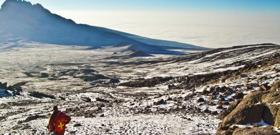
Oral tradition suggests that no local had successfully climbed Kilimanjaro – or at least returned to tell the tale – before Hans Meyer and Ludwig Purtscheller first summited in 1889.
Indeed, one theory has it that the mountain’s name derives from a Chagga phrase meaning ‘Impossible Journey’, the response made by a bemused local farmer to Rebmann’s query about walking to the peak.
More likely, perhaps the name Kilimanjaro was bequeathed on the mountain by Swahili-speaking traders from the coast – kilima is the Swahili word for hill, while ‘njaro’ might derive from the Chagga word for a trade caravan, or a Maasai word meaning water, or the name of a Swahili demon of cold.


